Made from your GPX
Personalized 3D preview
File or physical print
Your adventure, in relief
Your race, your 3D trophy
Preserve a trail, marathon, hike, or legendary road with its terrain, route, and the numbers behind your achievement.
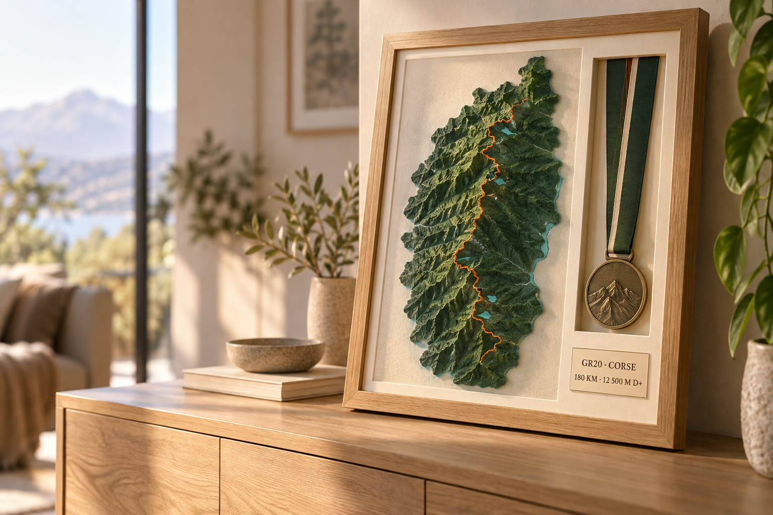
The object you will keep.
Three ways to tell an adventure
Choose your story
Start with your own route or choose a place that inspires you. Every creation can become an image, a 3D file, or an object to display.
01 · My achievement
Finisher Trophy
Your route, name, result, and medal brought together in one lasting object.
Create from my GPX →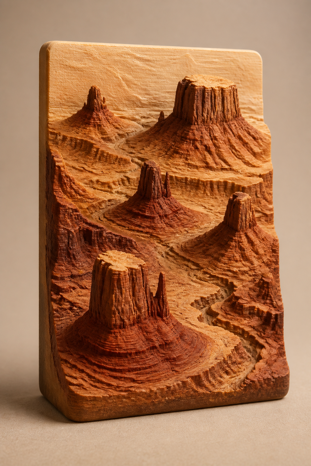
02 · Legendary roads
A road worth keeping
Scenic roads, mountain passes, and journeys that deserve a place on your wall.
Explore the models →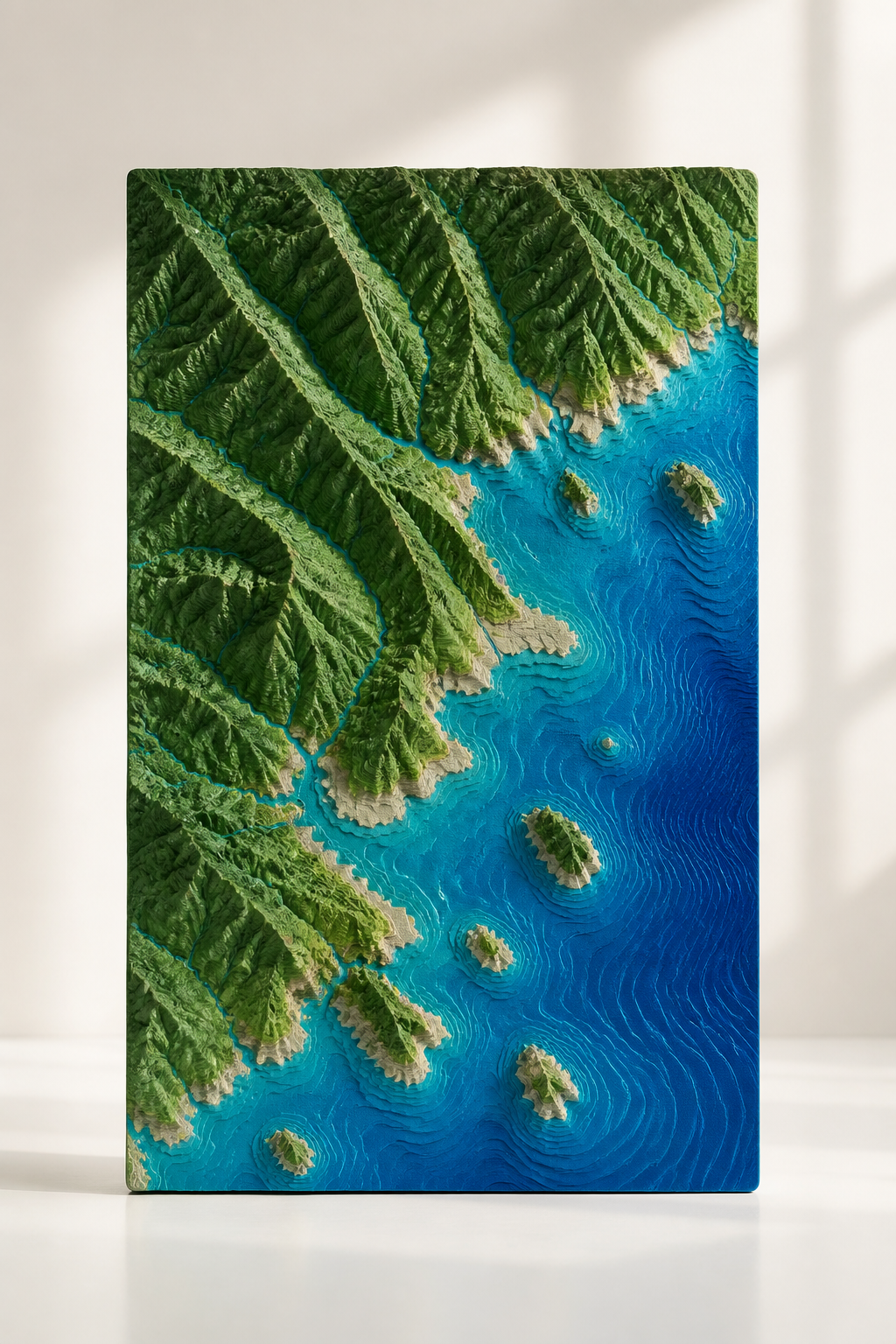
03 · Iconic places
A landscape to keep
Summits, islands, and monuments transformed into distinctive decorative reliefs.
Choose a place →Simple and personal
Your keepsake in three steps
Turn an activity into a unique creation in just a few minutes.
Import your adventure
Upload the GPX from your watch or choose a place directly on the map.
Personalize the relief
Frame the terrain, then choose its shape, colors, and highlighted route.
Keep the memory
Preview your creation, then download a file that is ready to print.
Designed around your story
Every detail matters
Faithful terrain
Real elevation gives meaning to the summits, valleys, and challenges along your route.
Your route comes first
Your GPX remains clear over the terrain through a strong color and a raised route.
An object that feels yours
Rectangle, circle, hexagon, octagon, or puzzle: choose the shape that tells your adventure best.
See it before you make it
Orbit around the model, adjust its colors, and inspect every detail in the interactive preview.
Ready Files
Download finished demo STL or 3MF files
Start with lightweight sample exports for demos, mockups, and quick test prints in Bambu Studio before generating a custom map in the studio.
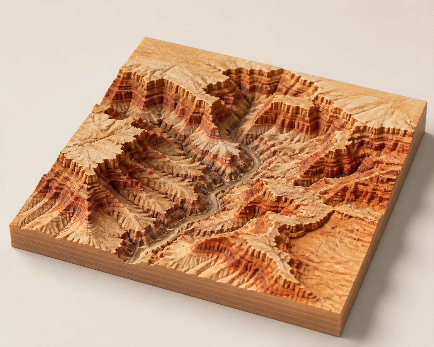
Grand Canyon
Sandstone relief
Grand Canyon Relief
Warm sand and canyon-brown strata with a carved river corridor in a lightweight demo STL for quick slicing tests.
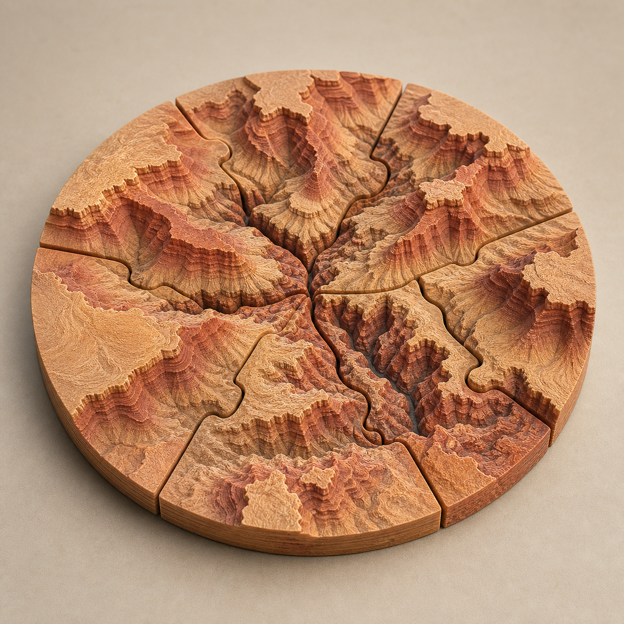
Grand Canyon
Round Puzzle
Grand Canyon Round Puzzle
A radial multi-part version in warm desert tones, prepared to test puzzle seams and circular framing.
Monument Valley
Desert tile
Monument Valley Relief
A desert mesa sample STL with buttes, dry valleys, and a sandstone finish for warm-toned display prints.
Studio
Local preview and private server exports
Prepare and preview the map in the browser, then use a private project to queue a durable STL or 3MF export on the server.
Private workspace
Account and server generations
Active session
Sign in to use private generation.
OSM map
Leaflet + OverpassSearch powered by Nominatim. Map data © OpenStreetMap contributors.
Sources & Attribution
This project builds on open components
The structure relies on open 3D and cartographic building blocks, adapted into a standalone local web application.
Reference project
Map data
OpenStreetMap via raster tiles, Nominatim, and Overpass.
Terrain data
Terrain Tiles / Terrarium for elevation, with a procedural fallback.